The UAE has completed the trial phase of a project to map agricultural areas using drones.
It's been helping the authorities collect data on farms and greenhouses in the country, as well as livestock population and soil type.
The Ministry of Climate Change and Environment (MOCCAE) is also using the technology to monitor crops and help farmers with forward planning.
The project's pilot phase between August and December in 2018, involved remote sensing and aerial imagery of Wadi Al-aim in Ras Al Khaimah.

 UAE air forces respond to incoming missile threats on Sunday
 UAE air defences intercept 23 missiles, 56 drones on Saturday
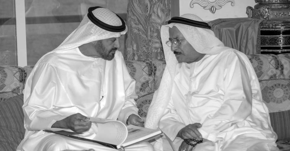 UAE President pays tribute to Emirati businessman Salem Al Saman
 UAE strongly condemns attacks on its embassy in Damascus
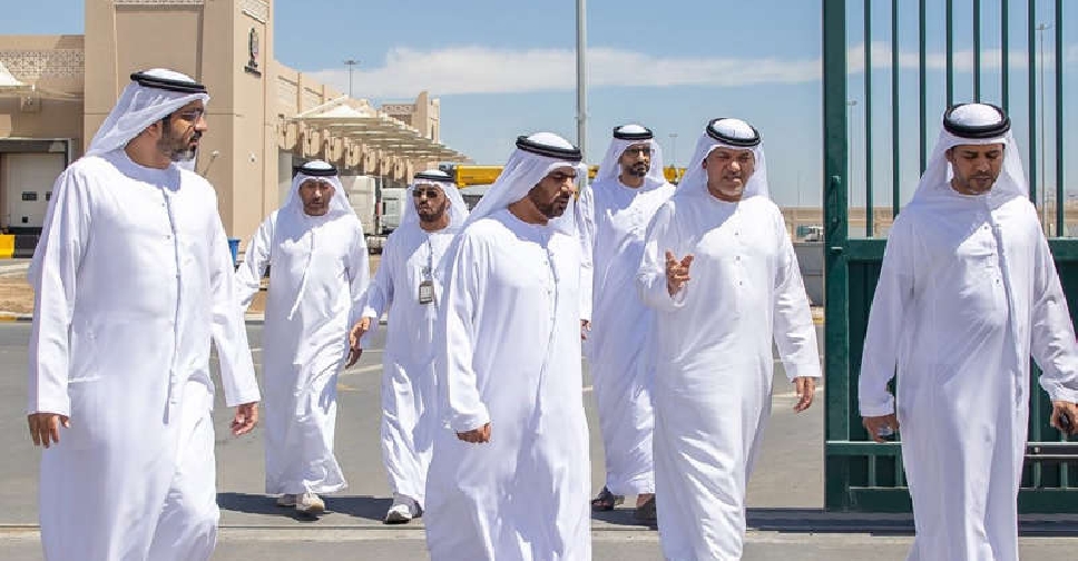 UAE officials review food supply flow at border crossings