

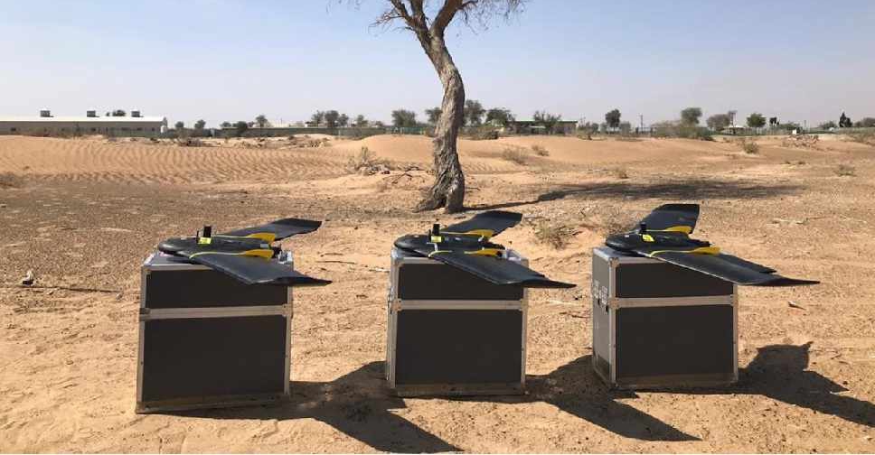
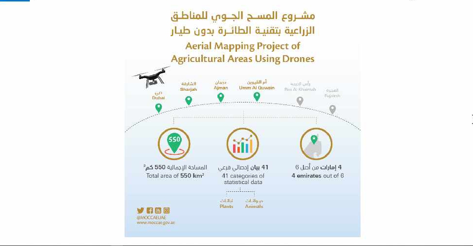
A project to map agricultural areas in the UAE using drones has completed its first phase.
It’s captured around 550 square kilometres of land across Dubai, Sharjah, Ajman, and Umm Al Quwain so far.
The Ministry of Climate Change and Environment will use the data to monitor crops and help farmers with forward planning.
Agricultural areas in Fujairah and Ras Al Khaimah will be mapped in the project's second phase later this year.

 H.H. Sheikh Hamdan awards Arab Hope Makers
 UAE looks into framework to regulate children's social media use
 UAE Ramadan moon-sighting committee to meet on Tuesday
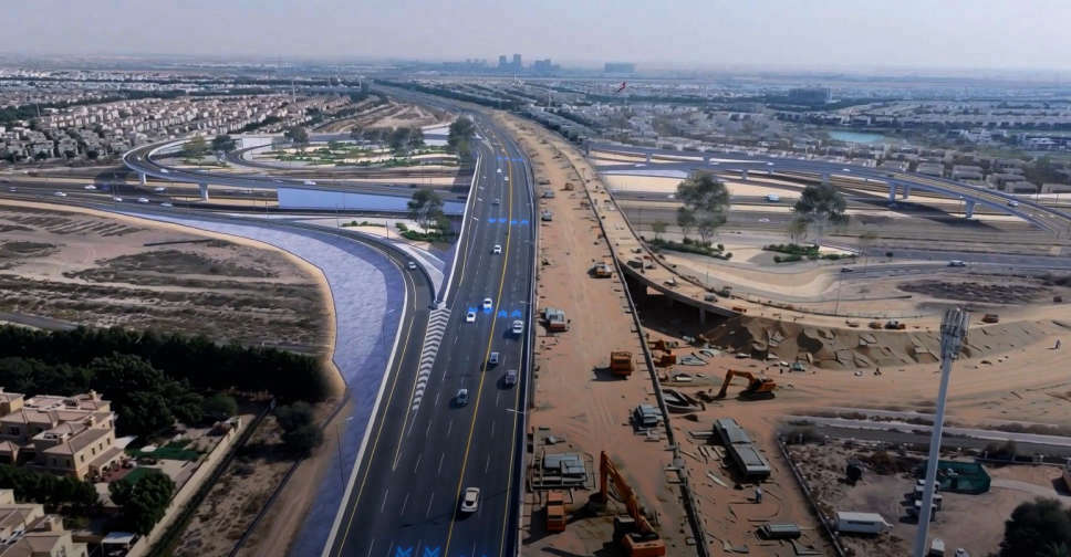 RTA opens second bridge at Al Qudra intersection
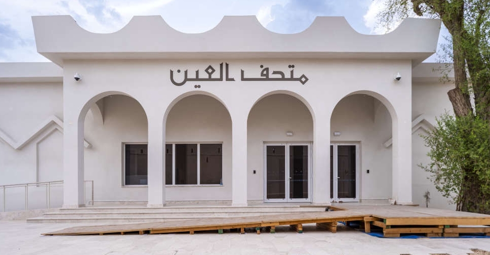 Abu Dhabi identifies over 40 modern heritage sites