


The UAE has completed the trial phase of a project to map agricultural areas using drones.
It's been helping the authorities collect data on farms and greenhouses in the country, as well as livestock population and soil type.
The Ministry of Climate Change and Environment (MOCCAE) is also using the technology to monitor crops and help farmers with forward planning.
The project's pilot phase between August and December in 2018, involved remote sensing and aerial imagery of Wadi Al-aim in Ras Al Khaimah.

 UAE condemns terrorist plots in Morocco, supports safety measures
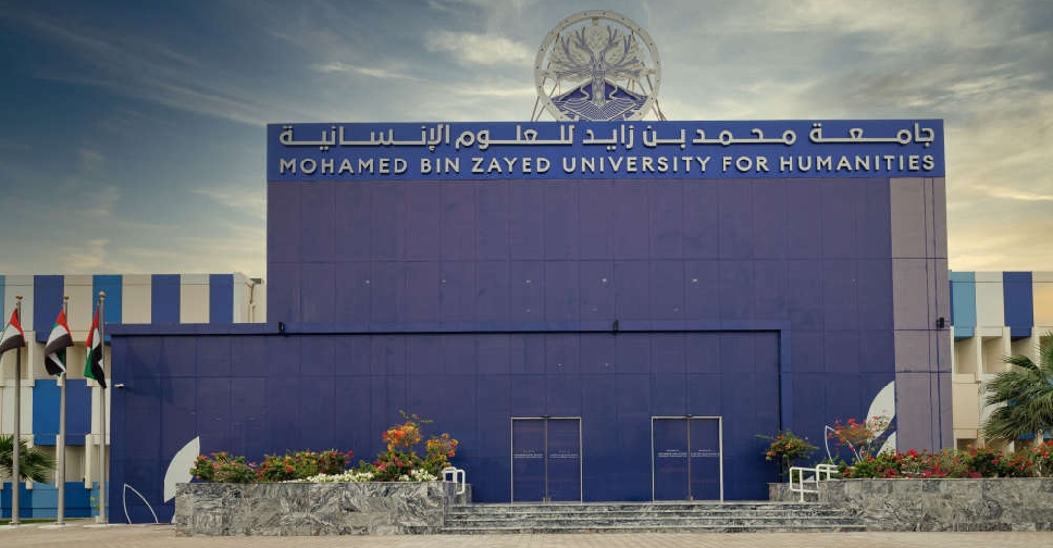 Mohamed bin Zayed University for Humanities receives International Quality Accreditation
 UAE ministry revokes licence of private university over 'severe violations'
 UAE expresses solidarity with Ghana and Ivory Coast following floods
 DEWA deploys agentic AI across its digital platforms